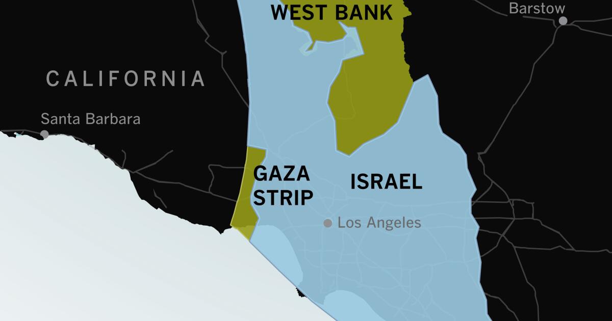
If you haven’t visited Israel or the Gaza Strip or spent much time thinking about their geography, it can be hard to understand how compact they are and how violence in one spot can feel immediate and personal throughout the area.
Maps of the region often look like this: Israel fills the frame. To people who are used to looking at maps of the United States, there seems to be plenty of space between major cities.


About the southern part of Des Moines to the north suburbs of the Twin Cities. Super narrow though, barely anything off of the interstate. Much smaller than Minnesota.